Access and Safety: What the Record Tells Field Operations in Nigeria's North
For the humanitarian and development organisations working Nigeria's North, need and danger occupy the same ground. Access decisions, whether to travel a road, open a site, hold a distribution, are made on incomplete information and paid for in staff safety. The incident record does not remove the risk, but it makes the decision an informed one. Here is what it shows, and how field teams can use it.
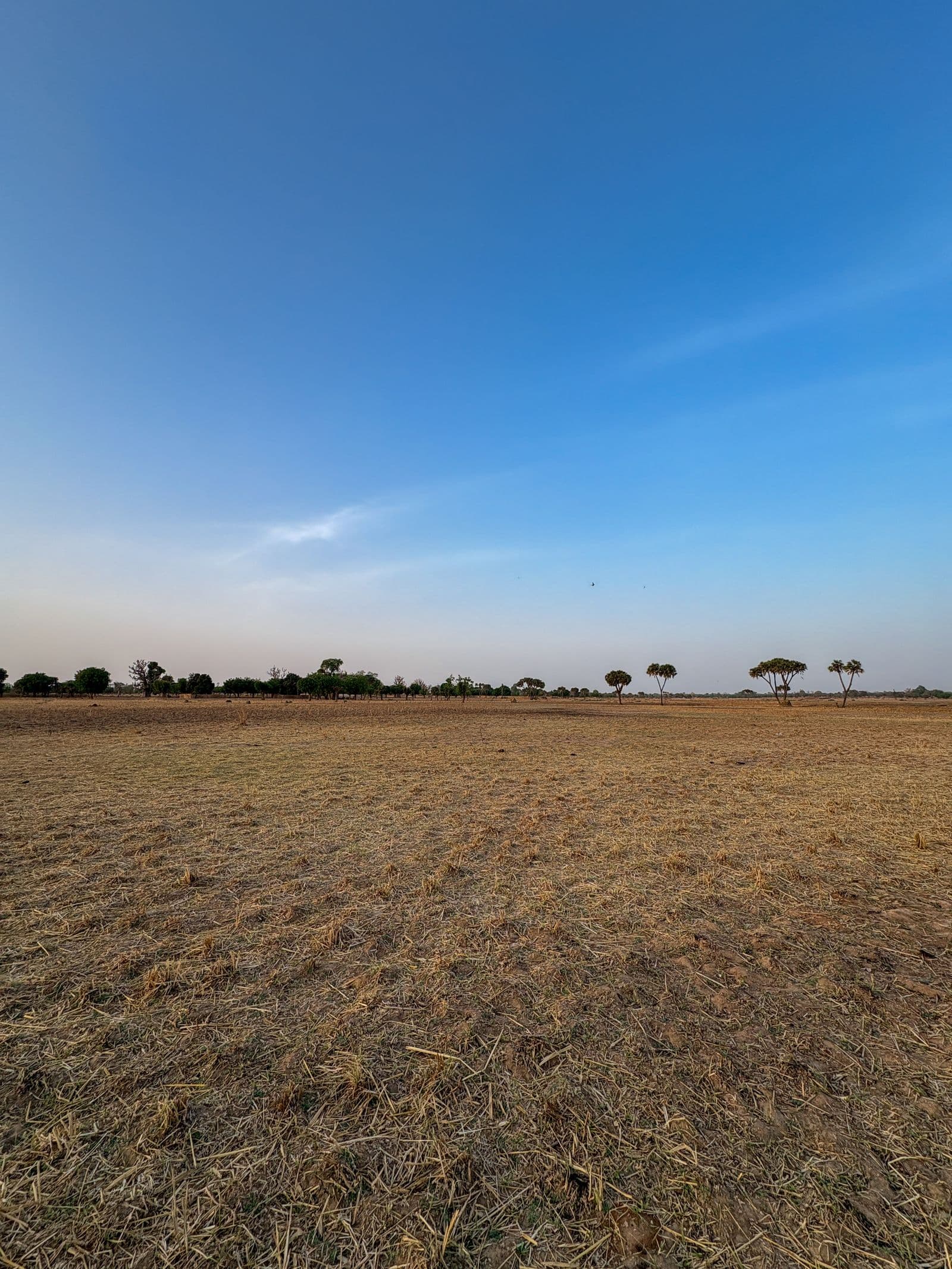
For the aid agencies, development programmes and field teams working across Nigeria's North, the cruelest feature of the geography is that need and danger sit on the same map. The communities that most require a clinic, a distribution or a school programme are frequently the ones hardest and most dangerous to reach. Every field operation there runs on a chain of access decisions, whether to travel a particular road today, whether to open a site, whether to hold a distribution this week, and each of those decisions is a safety decision made, too often, on rumour and last month's assessment.
The OpenWatch record cannot make the North safe. What it can do is replace the guesswork with ground truth, so that a go or no-go call rests on what has actually been happening, where, and how recently. For organisations whose duty of care extends to national staff and volunteers operating in genuinely contested space, that shift is not a convenience. It is the core of responsible operations.
Two Different Wars, Two Different Calculations
The first thing the record makes clear is that "the North" is not one security environment, and a field team that treats it as one will misjudge both halves.
In the North East, the threat is organised insurgency, and it is currently mutating rather than fading. Alongside the long war against Boko Haram and ISWAP, the archive records a renewed factional conflict between the two groups for control of the Lake Chad islands, a dynamic that can shift front lines and access with little warning. In the North West, the threat is banditry: mass attacks, abductions and levies across Sokoto, Zamfara and Katsina, including raids that have killed and abducted dozens in single incidents. An access plan built for insurgency does not fit a banditry environment, and the reverse is equally true. The record lets a team see which it is actually operating in, down to the local government.
The Road Is the Access Problem
For field operations, exposure concentrates overwhelmingly on movement. The static site is rarely the hardest problem; getting people and supplies to it is. Nigeria's northern highways are where armed groups mount roadblocks, ambush vehicles and abduct in bulk. Troops recently rescued 31 travellers taken by Boko Haram on the Damaturu to Biu road, one of the arteries field teams and suppliers depend on, and insurgents have been attacking and burning commercial trucks on Borno's roads, which reaches directly into the logistics any programme runs on.
This is why journey management, not perimeter security, is usually the highest-value control in northern operations, and why it depends on current corridor information. Which road, on which day, in which direction, is the decision that most often determines whether staff come home.
Reading the Ground in Real Time
The gap field operations have always faced is not analysis but currency: assessments age, and the situation on a given axis can change between the security briefing and the departure. OpenWatch is built to close that gap. A team can set a watch on the exact local governments and corridors it works, and be alerted the moment a serious incident is recorded there, rather than hearing it second-hand days later. The near-me view on the app shows staff what has happened around their current position over recent days. And the research desk lets a security focal point put a direct question to the incident record, what has occurred in this LGA in the last month, how a specific road has behaved, and get a sourced answer in seconds rather than a week.
Access as a Data Decision
The aim is not to make field teams more cautious, which usually means less access and less delivered aid. It is the opposite: to let them distinguish the genuinely inaccessible from the merely feared, and to move where movement is defensible. A distribution held off on a rumour that the data does not support is aid not delivered; a road travelled on optimism the record would have warned against is a safety failure. Both are decisions made without the ground truth that now exists.
The North will remain the hardest operating environment in the country. But the difference between an organisation that manages that environment and one that merely endures it is whether its access decisions are made on live evidence or on hope. See how the northern states rank and trend in the state risk index, understand the road exposure in The Cost of a Corridor, or put the live picture in field hands via the app.
OpenWatch tracks security incidents across all 36 states and the FCT in real time. Set area watches on the LGAs and corridors you operate, monitor them live on the map, or query the record through the API.